

Lot n° 87
Estimation :
300 - 400
EUR
Result without fees
Result
: 450EUR
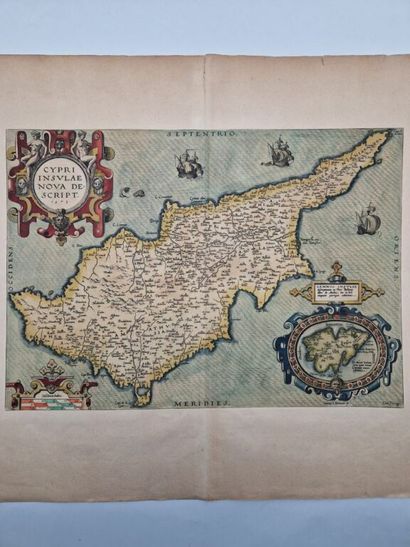
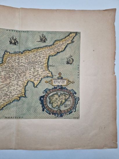
[CYPRUS]. ORTELIUS, Abraham. *Cypri Insulae Nova Descript.* - Lot 87
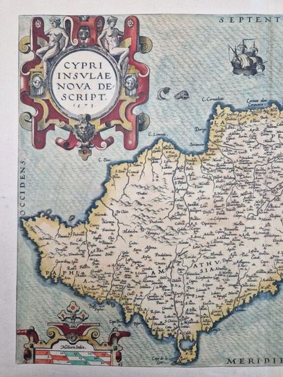
[CYPRUS]. ORTELIUS, Abraham. *Cypri Insulae Nova Descript.* 1573.
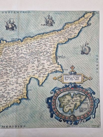
A color map of the islands of Cyprus and Lemnos from Abraham Ortelius’s famous atlas published in 1573, based in part on Giacomo Franco’s extremely rare map of Cyprus.
No place [Antwerp], no publisher, no date [1573].
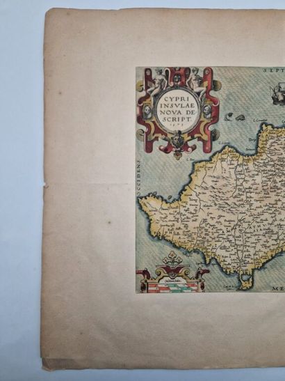
Copper engraving (35 x 49 cm) hand-colored, mounted on 19th-century heavy paper (55 x 77.5 cm).
Small tears along the margins of the paper, a few foxing spots on the paper, and a central fold affecting the map.
This rare 16th-century colored map of the islands of Cyprus and Lemnos is taken from the *Terra Orbis Theatrum* by Abraham Ortelius (1527–1588), considered the first modern geographical treatise.
Engraved by Joannes van Doetecum, known as “the Elder” (1530–1605), it is based on the extremely rare map (only three copies are known to exist) of the island of Cyprus by the young Venetian Giacomo Franco (1550–1620). Abraham Ortelius added the cartouche of the island of Lemnos, based on observations made by the Frenchman Pierre Bellon (1517–1564) during his naturalist expedition to the Levant between 1546 and 1549. It is therefore the oldest available version of Giacomo Franco’s map, predating it by only three years.
Although our copy has been mounted on later paper (19th century), it is authentic to the period and in very good condition. It also depicts ships as well as a menacing sea monster.
A truly beautiful 16th-century piece whose history is sure to impress your guests.
My orders
Sale information
Sales conditions
Return to catalogue