

Lot n° 92
Estimation :
240 - 300
EUR
Result without fees
Result
: 170EUR
NOLIN, Jean-Baptiste. Map of America divided into its princi - Lot 92
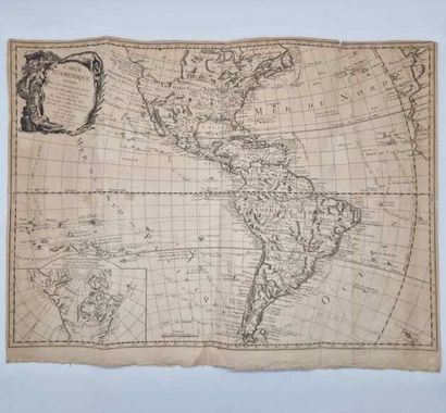
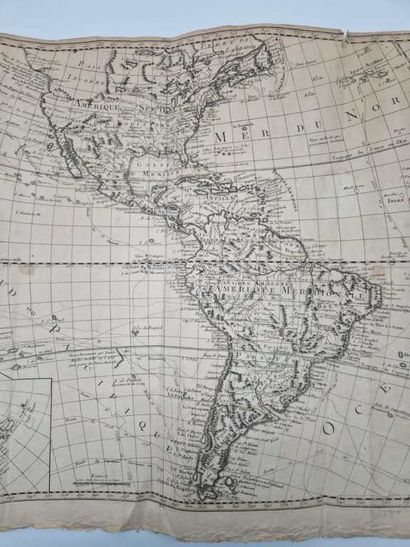
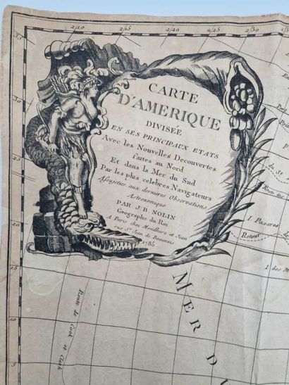
NOLIN, Jean-Baptiste. Map of America divided into its principal States. Avec les Nouvelles Découvertes faites au Nord Et dans la Mer du Sud par les plus célèbres Navigateurs Assujeties aux dernières Observations Astronomiques.
Published in Paris by Mondhare and Jean in 1785.
One black copper-engraved map, 73 x 52 cm. on 74 x 56 cm. laid sheet.
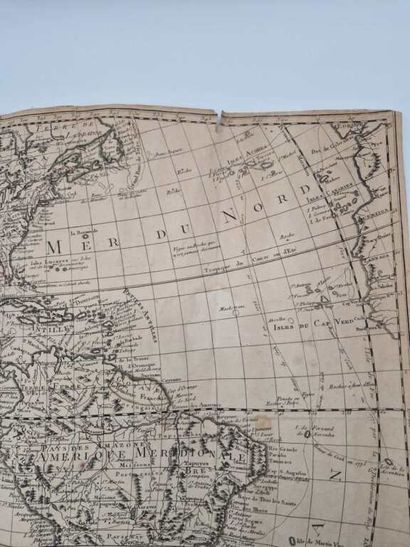
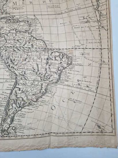
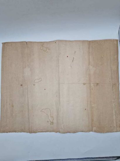
Three tears of a few cm at the top, top and bottom edges shaved, paper a little creased and faded, three vertical folds. Three wet spots at the equator and very rare foxing.
Very fine impression of a map by Jean-Baptiste Nolin fils (1686-1762), updated with new discoveries since then. It extends from the Labrador Lands to Tierra del Fuego in the south, and the Strait of Magellan.
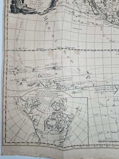
The map features an attractive cartouche in the upper left-hand corner showing a cornucopia, an allegorical figure (probably an Amazon) walking on a monster, and bales of cotton, as well as a box in the lower left-hand corner (12.5 x 22 cm) showing the discoveries made in North America by Captains Cook and Clarke in 1778 and 1779. It also includes the routes of several navigators and their travel dates.
Interesting not only for its subject matter, offering a global vision of the two Americas and covering a large part of the Pacific and Atlantic oceans, this map reflects the state of geographical knowledge at the time, with Hawaii not yet indicated and the Far North yet to be explored.
My orders
Sale information
Sales conditions
Return to catalogue