



Lot n° 233
Estimation :
100 - 150
EUR
Result without fees
Result
: 130EUR
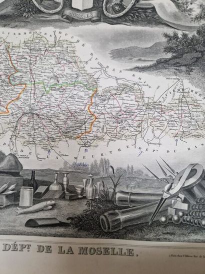
LEVASSEUR, Victor. Atlas National illustré des 86 départemen - Lot 233
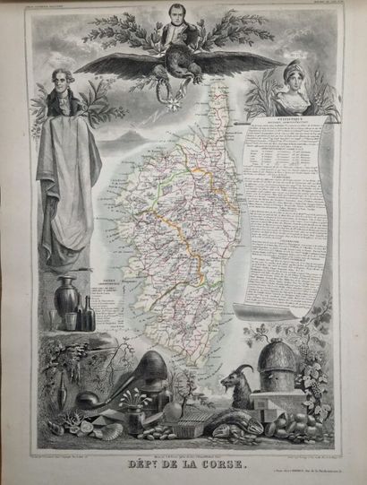
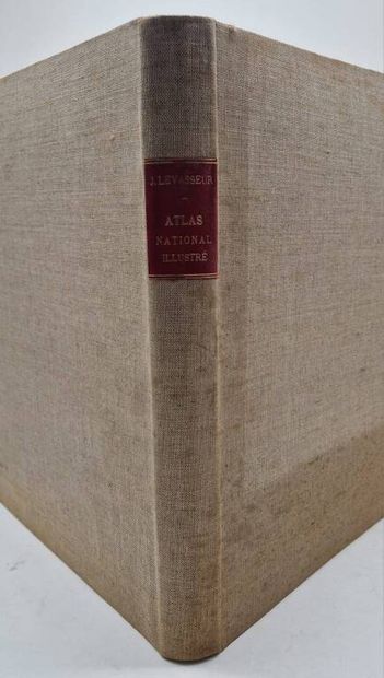
LEVASSEUR, Victor. Atlas National illustré des 86 départements et des Possessions de la France...
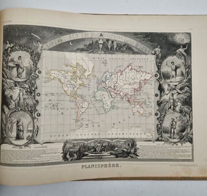
Levasseur's famous 101-map atlas, complete with planisphere.
Paris, A. Combette, 1851.
Oblong folio, cream post-coated boards, red title page.
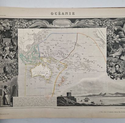
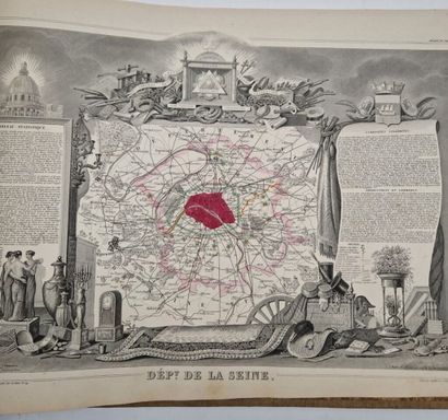
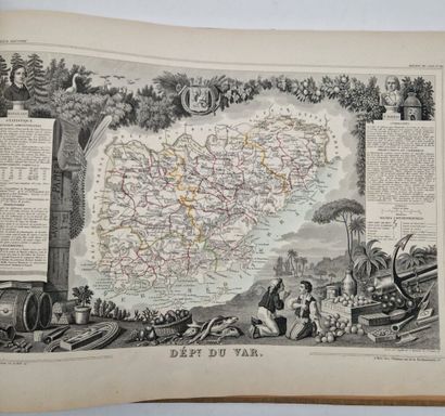
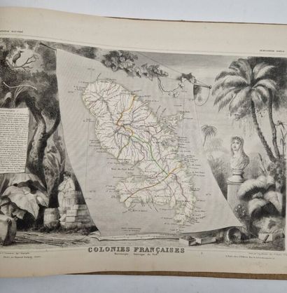
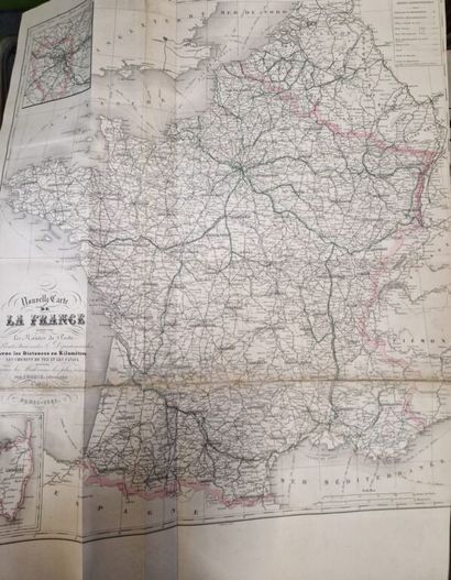
101 maps including 86 of departments, a folding map of France, a statistical plate and 14 miscellaneous maps (Oceania, Martinique, Algeria, Planisphere...).
Some foxing on part of the cover, browning of the horizontal fold of the fold-out map of France, a few small annotations in pen (on one of three or four department maps).
Rarely complete, including the most sought-after maps (Corsica dept., Planisphere, Martinique, Oceania, North America, South America, Seine dept., Guadeloupe, Asia...).
Attached to this beautiful atlas:
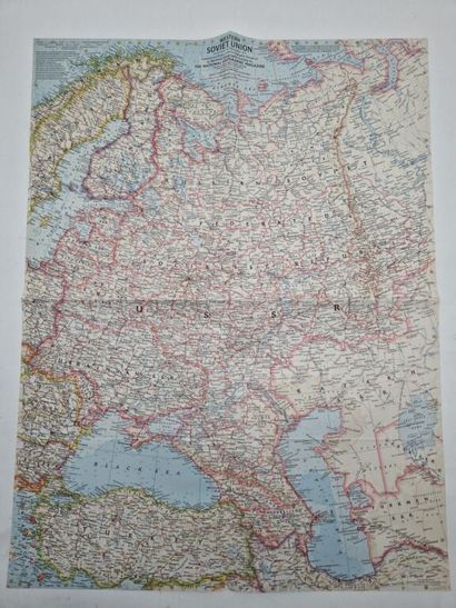
- A map of Western Soviet Union (63 x 48 cm) from National Geographic Magazine, 1959, in English. Two clean center folds.
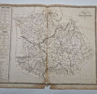
- A map of Deux-Sèvres and Haute-Vienne (58 x 45 cm) from Nouvel Atlas National, 1835. One central fold, wetness and foxing.
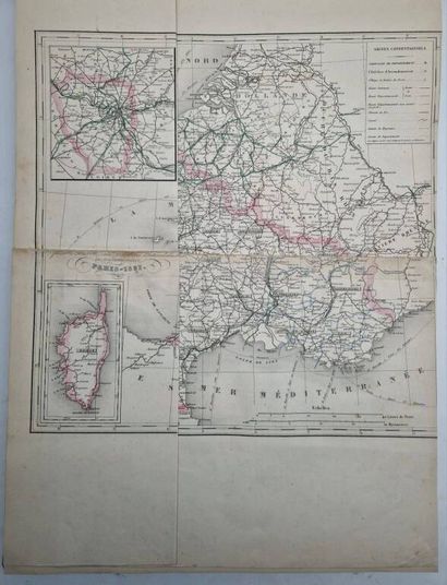
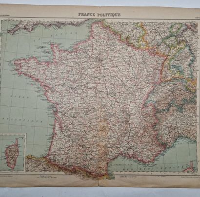
- A map of political France (58 x 45 cm), Librairie Hachette, circa 1920-1930.
Nice geographical set.
My orders
Sale information
Sales conditions
Return to catalogue