

Lot n° 11
Estimation :
300 - 500
EUR
Result without fees
Result
: 380EUR
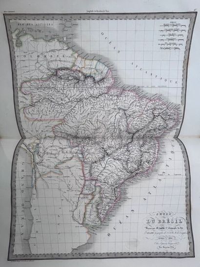
[ATLAS]. LAPIE (Pierre et Alexandre-Émile). Atlas universel - Lot 11
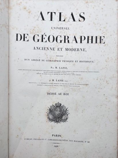
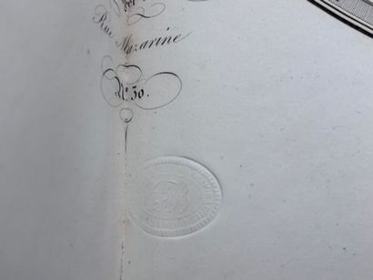
[ATLAS]. LAPIE (Pierre et Alexandre-Émile). Atlas universel de géographie ancienne et moderne, précédé d'un abrégé de géographie physique et historique.
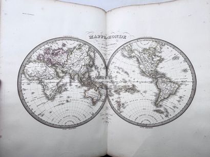
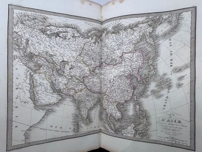
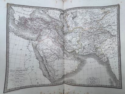
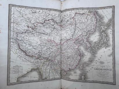
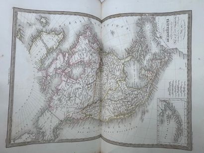
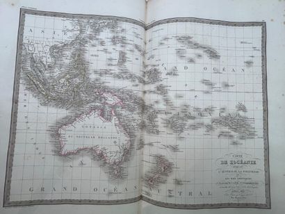
Monumental atlas consisting of 50 double-page maps with borders colored at the time.
Paris, Emery, Fruger et Cie 1829. Large folio (520 x 350 mm).
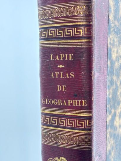
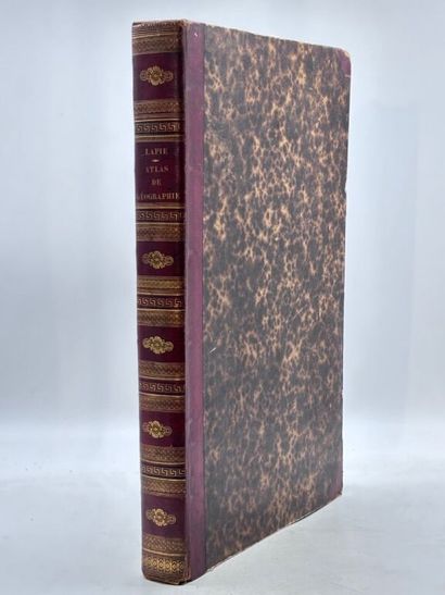
Long-grained red half-maroquin with corners, smooth spine richly decorated. Restoration of the gilt small irons (period binding).
4 ff.n.ch., 100 pp.
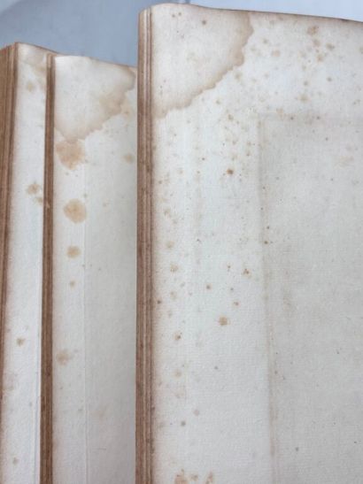
Leather rubbed with use, tear at foot cover, corners of boards and edges damaged. On the last 11 maps, marginal angular wetness without overflowing on the image. Some foxing.
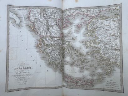
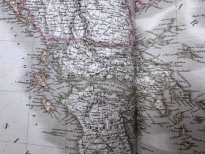
First edition and first print run of the 50 maps in this atlas dedicated to King Charles X. Drawn up between 1829 and 1832 by Pierre Lapie (1779-1850), engineer-geographer, and his son Alexandre-Émile Lapie, the maps are engraved with great precision by Lallemand. They reflect the state of the world at a pivotal moment in the recomposition of empires and nations. The map of Greece, for example, drawn in 1832, the very year of its independence, is one of the very first cartographic representations of this new sovereign state.
A fine copy in contemporary binding.
My orders
Sale information
Sales conditions
Return to catalogue