

Lot n° 80
Estimation :
100 - 150
EUR
Result without fees
Result
: 150EUR
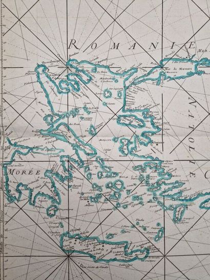
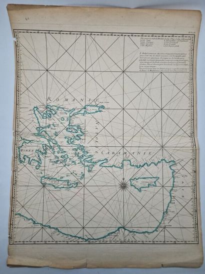
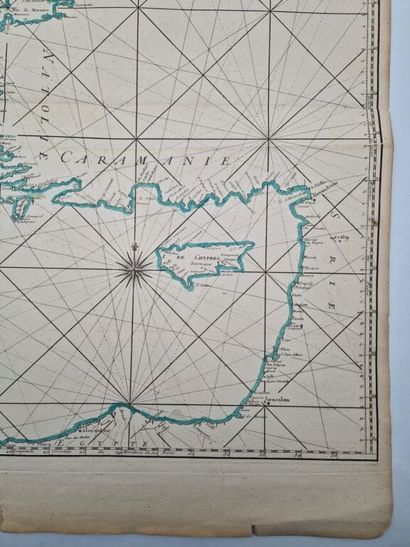
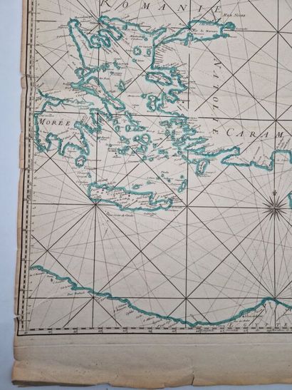
[CYPRUS - MEDITERRANEAN]. DHEULLAND, Guillaume. Reduced Map - Lot 80
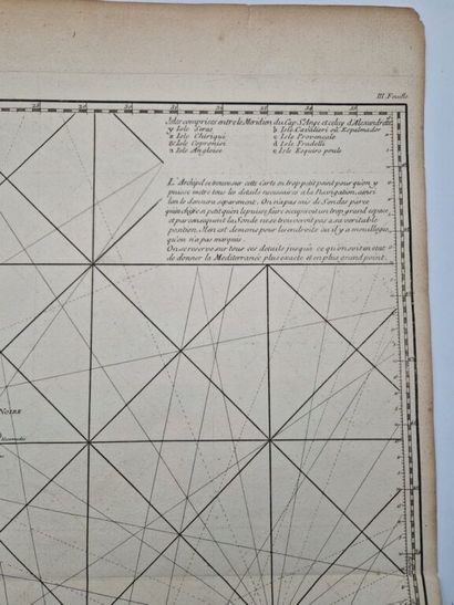
[CYPRUS - MEDITERRANEAN]. DHEULLAND, Guillaume. Reduced Map of the Mediterranean Sea for Use by the King’s Ships, prepared at the Naval Map and Plan Repository.
No place [Paris or Versailles], no publisher [probably the Naval Archives], no date [c. 1737–1753 or 1773].
Copperplate engraving (54 x 62.4 cm) hand-colored on laid paper (54 x 72 cm).
The lower and left margins are frayed; there are several small tears along these margins that slightly extend onto the map, including a small loss in the upper right corner; the left margin is trimmed into the margin well; there is a horizontal center fold, as is often the case; and there is a small smudge from the watercolor above Rhodes.
This map of the eastern Mediterranean, drawn by Guillaume Deullhand (17?–1770) in 1737, was likely intended to be part of the atlas *Neptune François* by Jacques-Nicolas Bellin (1703–1772), published in 1753 and again in 1773 by the Department of the Navy to aid navigation.
It complemented a large map of the Mediterranean, with the first two sheets covering the western and central parts.
Our copy is hand-colored in period colors.
A charming 18th-century nautical map.
My orders
Sale information
Sales conditions
Return to catalogue