

Lot n° 82
Estimation :
100 - 150
EUR
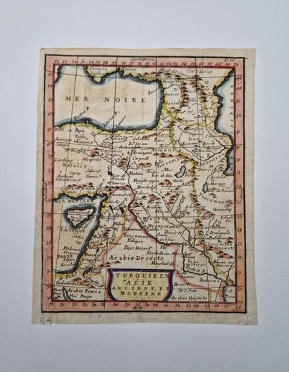
[CYPRUS - MIDDLE EAST]. Two early 18th-century maps of the i - Lot 82
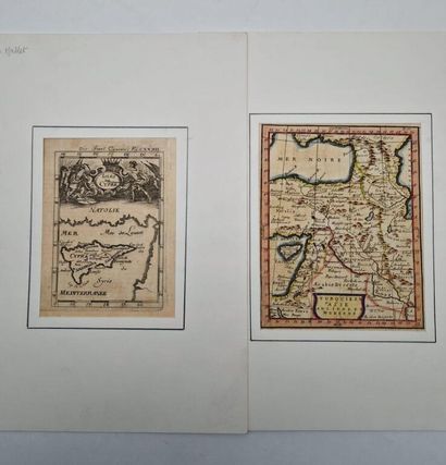
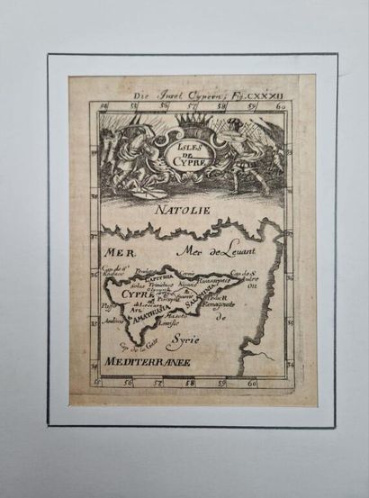
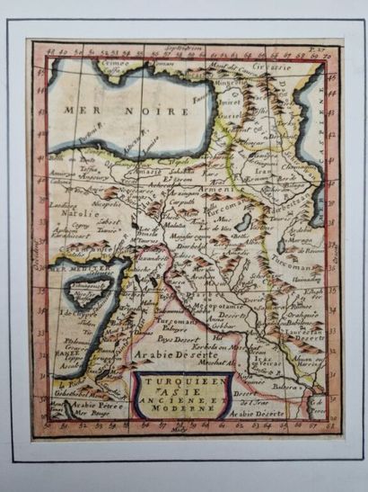
[CYPRUS - MIDDLE EAST]. Two early 18th-century maps of the island of Cyprus.
A set of two copperplate engravings mounted on thick white paper (35 x 25 cm) with a decorative graphite border:
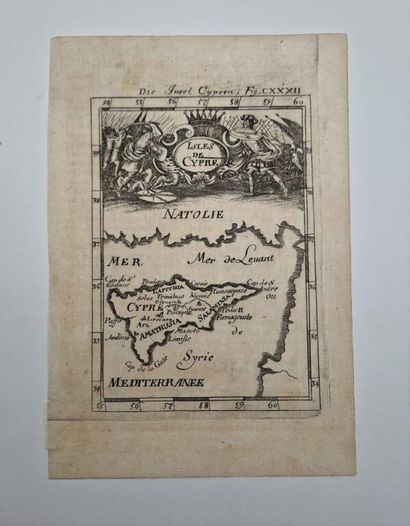
- A black-and-white map (15 x 11 cm) of the island of Cyprus, likely by Alain Manesson Malet (1630–1706), c. 1719, featuring a scene of ancient combat in a cartouche.
- A map of the Near East (18 x 14 cm), enhanced with watercolor, depicting the Caucasus, the Holy Land, and the far west of Iran, c. 1700–1750. Traces of a former central fold.
Charming maps, in good condition.
My orders
Sale information
Sales conditions
Return to catalogue