

Lot n° 88
Estimation :
100 - 120
EUR
Result without fees
Result
: 150EUR
[CYPRUS]. A collection of Renaissance maps by three great ge - Lot 88
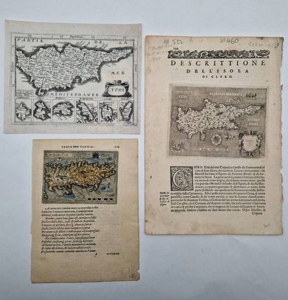
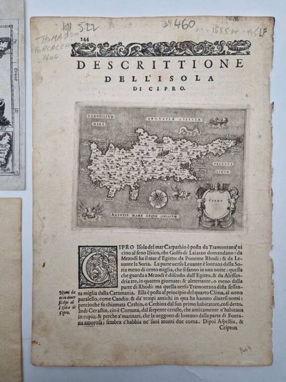
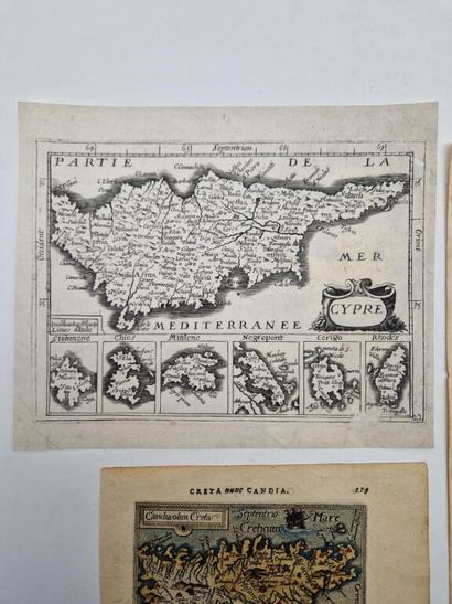
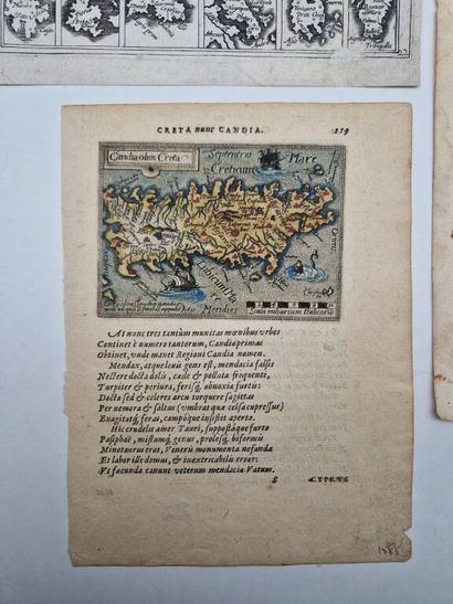
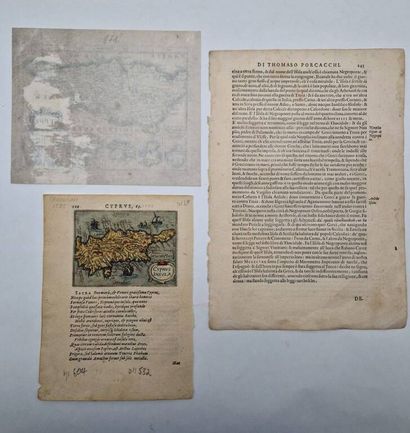
[CYPRUS]. A collection of Renaissance maps by three great geographers: Ortelius, Mercator, and Porcacchi.
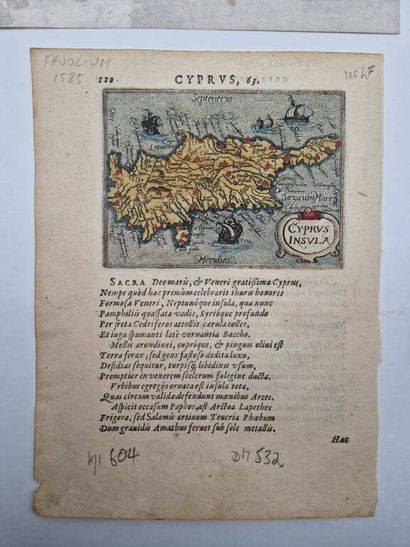
- Two copperplate engravings (7.8 x 10.5 cm) hand-colored, depicting Cyprus and Crete on the front and back, respectively, of a page on laid paper (21 x 15 cm) with printed Latin text, most likely from an atlas by Abraham Ortelius (1527–1598), c. 1580–1600. A few pencil annotations that do not damage the maps.
- A map by Gerardus Mercator (1512–1594) depicting the island of Cyprus and six Greek islands, c. 1608 or 1613, engraved on copper (13.5 x 18 cm) on laid paper (16.5 x 19.5 cm). Paper bleached; a small portion of the printed area is missing at the very bottom of the map.
- A map by Tommaso Porcacchi of the island of Cyprus (1530–1576) engraved on copper (11 x 14.5 cm) on an Italian-language leaf decorated with a woodcut initial (28.5 x 20.5 cm), c. 1590 or 1604. The right margin is frayed, and there are a few annotations that do not affect the map or the lead-pencil text; there is slight water stain on the right margin that does not affect the map.
A delightful geographical ensemble from the late 16th and early 17th centuries.
My orders
Sale information
Sales conditions
Return to catalogue